
Walk a Menomonee Falls Street
A sound street directory search moves from the physical address to a parcel, then from that parcel to its recorded and dated evidence. Start with one known site. Do not begin by collecting names that merely look local. The address fixes the Menomonee Falls place, while the tax key and legal description keep the trail intact if the street spelling changes.
- Enter the complete address in Waukesha County Tax Listing and save the tax key, situs, owner mailing address, and legal description.
- Open Parcel Inquiry to confirm the mapped lot, road direction, adjoining parcels, and any corner or common-area issue.
- Use the legal description and owner result in Public Access. Record each party role, document type, date, instrument, and book or page.
- Use MyVote only for an individual name and date-of-birth check or for election facts tied to an address. It does not list a whole street.
- Add a dated directory, census, newspaper, map, or property file when the question concerns an earlier household.
This flow separates ownership from occupancy. A mailing address may be elsewhere. A deed party can be a lender, trustee, or former owner. A directory entry is tied to its print date. The Menomonee Falls street directory is strongest when each fact retains its source label.
Menomonee Falls Address Fields
The Waukesha County Parcel Inquiry offers Search by Tax Key and Search by Parcel Address. Address mode breaks the input into House Number, Direction, and Street Name. The tool also provides road-type abbreviations such as AV, BL, CIR, CT, DR, LN, PKY, PL, RD, ST, TER, TR, and WAY. Try the official format before deciding a parcel is absent.
| Search item | Input form | Street-directory use |
|---|---|---|
| Tax Key | County parcel identifier | Returns to one mapped parcel despite address spelling changes. |
| House Number | Number text | Places the search on a specific site or unit range. |
| Direction | Direction control | Distinguishes roads with the same base name. |
| Street Name | Name text | Accepts the road name with the portal's abbreviation guidance. |
| Parcel Address mode | Search tab | Starts from a present-day situs address. |
The image below comes from the official Waukesha Parcel Inquiry.
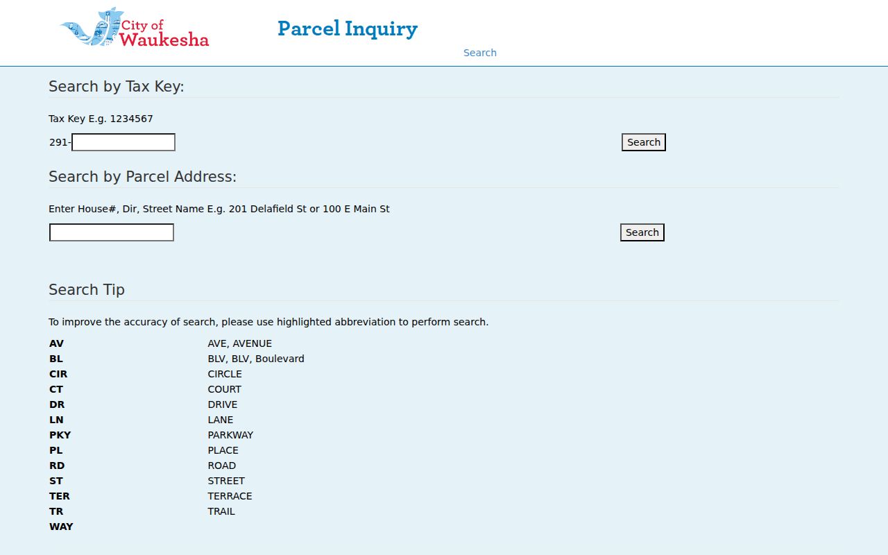
The separate tax-key and address paths make clear why a current street entry should be saved with its parcel identifier before the search moves to deeds.
Terms in Menomonee Falls Records
Street records use a few terms that look alike but carry different meanings. Keeping them distinct stops the street directory from turning a property fact into a claim about a household.
- Parcel
- A mapped land unit identified by a county tax key.
- Situs address
- The physical address assigned to the parcel.
- Mailing address
- The place where owner correspondence is sent; it may not be the situs.
- Plat
- A recorded map that divides land into lots, blocks, roads, or other tracts.
- Criss-cross directory
- A directory arranged by address or phone rather than only by surname; no complete local reverse-directory run was verified.
A legal description is another vital key. It may name a subdivision, lot and block, or a metes-and-bounds tract. Older deed indexes rely on that wording even when a modern house number did not yet exist.
Map Menomonee Falls Parcels
The County Map Atlas and Parcel Inquiry show parcel geometry, roads, address context, and neighboring tax parcels. County GIS links to Tax Listing and the Register of Deeds, but it intentionally has no general owner-name search. An owner becomes visible only in connection with a parcel already identified by address or tax key.
The source image below comes from the Waukesha County Map Atlas.
The map supports a by-street review of lot lines and adjacent tracts. It should be paired with parcel details because a rear lot, common area, condominium, road parcel, or split can look like a simple neighbor on the screen.
Records Along Menomonee Falls Streets
Each address-keyed system adds a different layer. The street directory should show that scope before it names any person. Online portals are useful starting points, while village and county offices provide counter, mail, phone, email, fax, or request-based access when a screen has no result.
| Address source | Record keeper | Evidence at the site | Ways to reach it |
|---|---|---|---|
| Tax Listing | Waukesha County | Tax key, situs, parcel owner, mailing address, legal description, assessment | Web search, county staff, or village assessor detail |
| Parcel Inquiry | County Land Information Systems | Lot shape, roads, nearby parcels, and map context | Public web viewer and county assistance |
| Recorded documents | Register of Deeds | Parties, instrument, document type, date, legal description, and image status | Public Access, historic indexes, office, or mail |
| Building records | Village Building Inspection | Address-linked permit type and date where retained | BS&A search or village request |
| Election records | Wisconsin and local clerks | Individual voter confirmation or election facts for an address | MyVote, Badger Voters request, or clerk |
| Historic local sources | MFPL and WHS | Dated names, phone listings, building form, news, and household context | Digital items, room visit, microfilm, or limited lookup |
No row alone identifies everyone who lives at an address. Link sources only when the parcel, date, role, and printed place agree.
Deed Chains by Menomonee Falls Street
The Waukesha Public Access Document Search provides full indexing from January 1, 1994 forward. A result may show an image control, instrument or book and page, filing and recording dates, document type, party name, legal description, and status. Preserve all of those labels. A grantor transfers an interest, while a grantee receives one. Neither word means resident.
The source image below comes from the recorded-document search.
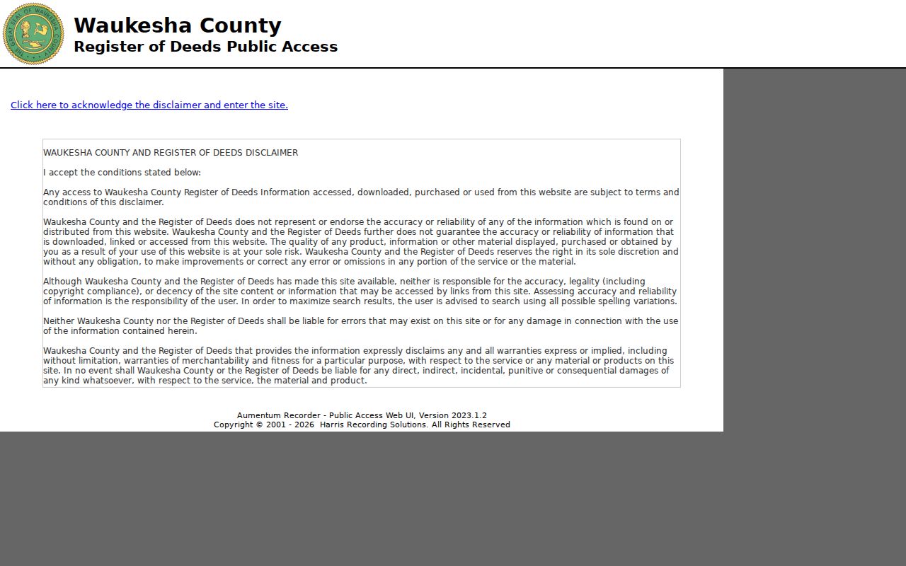
The result index is a locator and may offer image viewing or purchase. A certified copy remains a separate office or mail service through the Register of Deeds.
For transfers before 1994, take the legal description to the tract, subdivision, or condominium indexes. Their periods run from 1848 through 1994. Follow “Forwarded to” notes onto the next page. Some blank pages were omitted because they held no postings, so an absent page number is not itself a broken chain.
The older browse method is visible in the county's Online Tract Index.
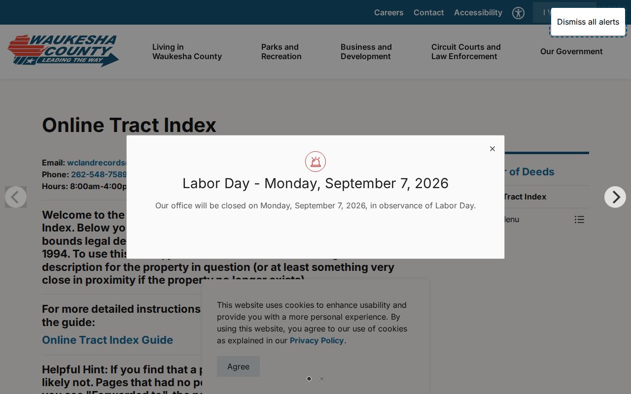
The volume ranges and continuation notes help extend a modern parcel search into records created before full electronic indexing.
Menomonee Falls Street Permits
Village building files can add a dated change to a place. The BS&A portal identifies Address, Name, and Parcel Number as search keys. Village permit categories include building, electrical, HVAC, plumbing, alteration, deck, fence, generator, pool, and wreck or raze work. Exact online result fields and historic depth were not documented, so do not promise a full permit history.
If the portal comes up short, use the Village permit and application route or file a specific public-record request. The village policy says assessor and building-inspection requests may require 48 hours' notice. Give the exact Menomonee Falls address, date range, record type, and desired delivery form. Wisconsin law does not force the office to create a new street list.
Street Numbers Changed Menomonee Falls
Official village history records a major address event in 1935: signs were put on all village streets and numbers were assigned to all buildings for the first time. A source printed before that milestone may identify a lot, business, road, family, or landmark without today's house number. Never rewrite the old address silently.
Use the printed wording first, then test it against a plat, Sanborn map, property-history file, tax key, and later directory. The first village-wide plat, made in 1887, contained 117 parcels. Sanborn films at the local library cover 1910, 1925, and 1949, and the Wisconsin Historical Society makes the five-sheet 1910 set available online. Together they can bridge a pre-numbered place to a later parcel.
Road names also carry time. Fond du Lac Avenue is now Appleton Avenue. A search of old Menomonee Falls records should use both forms while retaining the name that appears in the source.
Annexed Menomonee Falls Streets
A street can change jurisdiction while the land stays put. In 1958, residents backed annexation of the Town of Menomonee, and the village completed six annexations in 91 days beginning that October. Older newspapers, directories, permits, and local files may therefore describe a present Menomonee Falls address under the Town of Menomonee.
Search both labels around the change date. Also check nearby community names when using the 1936 telephone directory, which covered Menomonee Falls, Lannon, Granville, Germantown, and Fussville. Geographic coverage in a phone book is not the same as the present village boundary.
Past Names on Menomonee Falls Streets
The Maude Shunk Local History Room holds newspapers, yearbooks, family files, property histories, maps, plats, census film, funeral cards, church and cemetery sources, and directory material. Its verified digitized 1936 telephone directory can tie a name or firm to a printed phone and address in that year. Older Polk and Wright directory citations appear in official property histories, but no complete reverse-directory shelf was verified.
Use the Menomonee Falls city directory collections for the full historical shelf method. For one street, request a limited lookup from the library by email or mail when a scan is not online. Include name variants, the exact street form, approximate year, and the item sought. The room also offers in-person microfilm and stored files on request.
MyVote and Menomonee Falls Streets
MyVote Wisconsin has two distinct roles. Its address path can return polling place, ballot, district, elected-official, and election information. Its individual path uses first name, last name, and date of birth to confirm one voter's registration and activity. Neither path produces all residents on a block.
Broader voter data is requested through Badger Voters, where a user selects a data type and jurisdiction, gets an estimate, pays, and downloads the allowed file. The village clerk handles local registration and poll books; the County Clerk supplies county election information and results. Those are separate access channels, not a single by-street search.
Limits of Menomonee Falls Street Directory
A parcel owner is not necessarily the occupant. A tax mailing address can sit outside Menomonee Falls. Recorded deeds name legal parties, not each household member. MyVote protects the individual lookup and does not disclose a block roster. Court, police, vehicle, juvenile, vital, and confidential-elector records have further limits. Wisconsin's Safe at Home program can replace an actual address with an assigned one.
A missing name is not proof that no one lives there. It may reflect a renter, a family member not named in that record, a stale date, a protected address, an old spelling, an annexation-era label, or a source that was never indexed online. Verify the purpose, source date, and role before sharing any finding.
Lawful personal use. Menomonee Falls address records may support family, property, or civic research. Never use a street directory result to stalk, harass, threaten, or harm a person.